Federal viewer
Type of resources
Available actions
Topics
INSPIRE themes
federalThemes
Keywords
Contact for the resource
Provided by
Years
Formats
Representation types
Update frequencies
status
Service types
Scale
Resolution
-

This web service provides a display of the Administrative Units - INSPIRE datase This webservice complies with the INSPIRE specifications.
-

This web service provides a display of the dataset Cadastral parcels - INSPIRE. This webservice complies with the INSPIRE specifications and is available in several formats. It is recommended to use the PNG format.
-

This web service allows viewing the dataset BeStAddress.
-

This AtomFeed download service provides access to federal datasets that are not reported under the INSPIRE Directive. The datasets can be accessible for free or under conditions.
-
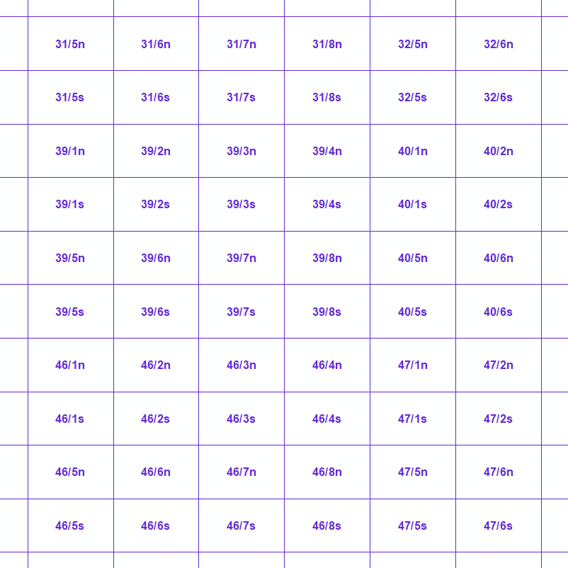
MapIndex is a regular grid of rectangular or square cells coded with alphanumeric characters. It has been defined for the Belgian territory and allows geolacating several events. The present version is a beta (v2)version which is submitted to the emergency services. It will evolve to a standard cartographic grid.
-
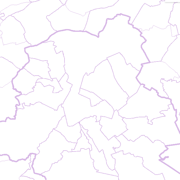
This web service allows viewing the territorial divisions that represent fully recognised Belgian geographical units. The AdminVector dataset encompasses the statistical sectors defined by the FPS Economy, the administrative units maintained by the FPS Finance and their centres, as well as the boundary stones. The datasets of the judicial cantons and judicial districts are built on the basis of their definition in the Judicial Code. The dataset of electoral cantons is built on the basis of its definition in the Electoral Code. The postal cantons dataset is based on the boundaries of the Belgian postal codes managed by bpost.
-
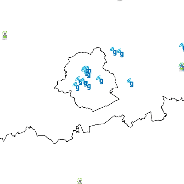
Govroam is a " wifi roaming " solution. This service offers to the users a simple and secure access to the wireless network of their institution, but also to networks of other participating institutions. A user from an organization that participates in govroam will be able to connect to any wireless access point broadcasting govroam. The data provided here makes it possible to locate these access points.
-

This web service allows the visualization of altimetry data. More specifically, it allows to visualize the National Geographic Institute's digital terrain model and the contours associated with it. This service is compliant with the INSPIRE specifications.
-
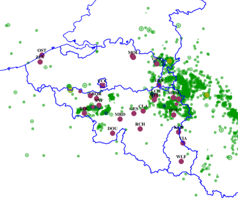
This web service allows viewing ROB datasets. This service is compliant with the INSPIRE specifications.
-

INSPIRE compliant view service for geographic information of the datasets of the Marine Strategic Framework Directive made available by the Royal Belgian Institute for Natural Sciences (RBINS).
 geo.be Metadata Catalog